


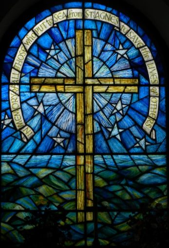
I suppose the best way to start this article is to say it has almost nothing to do with St Agnes, the patron saint of girls, although rather weirdly I am unintentionally writing it on her feast day, 21st January. She was a Roman, martyred by Diocletian in 304 AD. Quite why her name became associated with one of the Isles of Scilly is a bit of a mystery, but may be related to a female Irish hermit called St Warna establishing her cell there. St Warna most probably lived within the century following the martyrdom of St Agnes, when she was a popular newly canonised saint.

In the reign of Athelstan (924-7), the Isles of Scilly were mainly inhabited by hermits, and more of the islands had been given the names of saints, than would now appear to be the case. Samson was then St Sampson, and Tresco called St Nicholas. In 1193 Pope Celestin placed the hermits and their islands under the control of the Abbot of Tavistock. Other islands were then called St Elid (Lid-Lyde), St Teon, and Nullo. St Elid is now St Helen, Teon like Samson has lost its saint!
Nullo could be present day Great Ganilly, Annet, or White Island; all of which supported hermits’ cells. It is unlikely to be Bryher, which may still have been permanently joined to Tresco, when it was known as St Nicholas.
St Agnes is connected to a tidal island called Gugh by a tombolo or sand bar, although the bar in this case is composed mainly of granite cobbles. It is only submerged at high spring tides. In Roman times the Isles of Scilly comprised of two main islands. St Agnes and Annet were then the core of the smaller of the two islands, while St Mary’s was joined to St Martin’s, Tresco, Bryher, and Samson. The larger island was known as Ennor.

During successive Glacial Maximums over the last 10 million years, the Isles of Scilly have been the only part of the British Isles free from ice. At these times sea level has been around 125m (400 feet or 66 fathoms) lower than present. This is only partly due to water being tied up in ice sheets at the Poles. Distortion of the Earth’s mantle due to the weight of ice, causes ice free areas of continents to rise up at the same time. Recovery of ocean levels after a Glacial Maximum is not instantaneous, and does not follow a logical pattern. Scilly was at one time the highest point in a vast area of land stretching from the south coast of Ireland to the north coast of Brittany. This land was divided by three glacial rivers issuing from St George’s Channel, the Bristol Channel, and the English Channel. The central part of this land, with Scilly at its centre, remained into pre-history and is known as The Lost Land of Lyonesse.

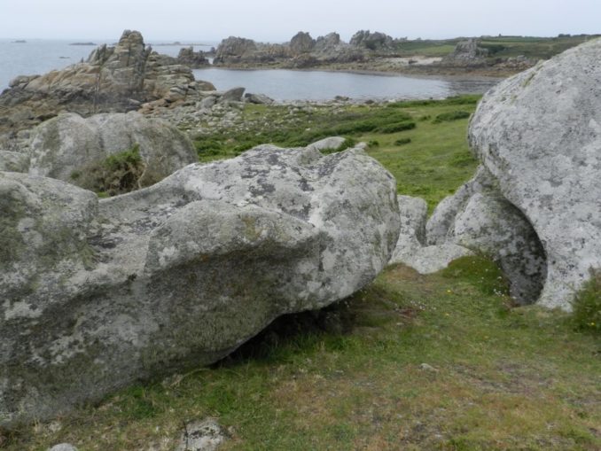
I grew up with tales of Lyonesse told by my father’s mother, herself of Scottish ancestry. It was only when I visited St Agnes out of curiosity that I discovered my ‘Legg’ ancestors had come from Scilly. It had always been assumed they were an old Teesdale family. In fact they only moved to North Yorkshire after large areas of Scilly were submerged between the 16th and 18th centuries, when all the coastal parts of Britain underwent massive changes. All of Scilly is littered with prehistoric remains, out of all proportion to the present size of the remaining islands. They only make sense when it is realised that the people who built these monuments, for the most part lived and farmed on land now below the waves. Lying to the South-West of the main islands, St Agnes takes the full force of Atlantic storms.
Despite a lot of noise being made about the Celtic past of the islands, the people who inhabited them in prehistory would have predated the Celts, and Scilly remained sparsely inhabited until settled by Vikings. Throughout the time of sailing ships, there were surprising connections between Scilly and ports like Sunderland and Whitby in North East England. This may have been linked to taking on fresh water before crossing the Bay of Biscay, and later the Atlantic, or down to family ties dating back to Viking times. It explains how my ancestors ended up in Yorkshire, and ignored the rest of England that was in between.

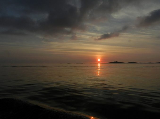
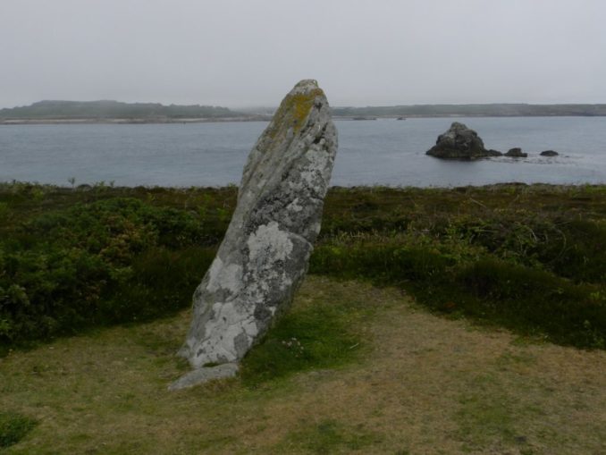
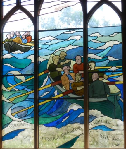
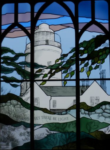
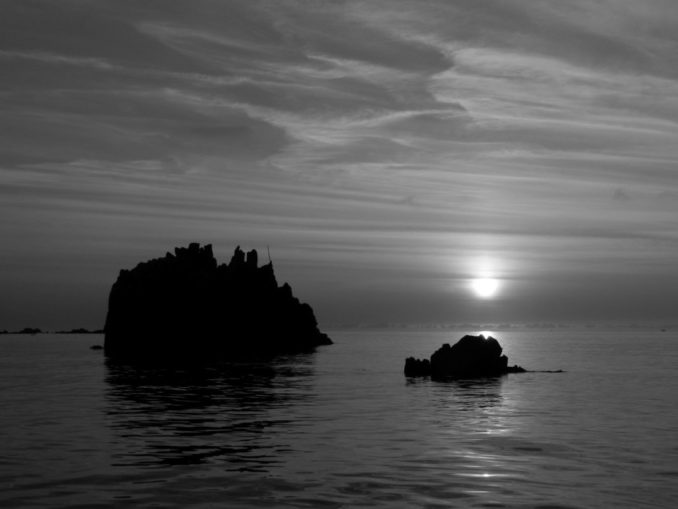
Our own visit to St Agnes was too short, and began with a sea fret that made photography difficult, before ending in a glorious sunset. We ended up missing the north-west part of the island, which is supposed to be best for bird watching. Time was still found for an ice cream at Troytown Farm and evening meal at the Turks Head. We visited the burial chambers on Gugh first, before following the south shore to Troytown and the Church. There is very little accommodation on the island, with most overnight visitors camping at Troytown. There are yacht anchorages to both sides of The Bar. Local boats tend to anchor in Periglis, beside the old lifeboat station. The ferry from St Mary’s lands in Porth Conger, in front of the Turks Head, and many day trippers explore no further. St Agnes was the location for one of the first lighthouses, and one of the first lifeboats. The lighthouse became redundant in 1858 when the Bishop Rock lighthouse was finally completed. Work had begun in 1847.
The dark blue on these charts tells you how the islands were connected in the past: https://fishing-app.gpsnauticalcharts.com/
The land appears to be sinking at a rate of 3 feet every 200 years (30 feet since the Romans arrived in Britain). That is one fifth of an inch per year. I would not advise trying to wade between the islands as suggested in guide books printed in the 19th and early 20th centuries. Unless you wear lead boots, own a long snorkel, and have suicidal tendencies.
Text and images © Bebi Seasick 2024


